Earth: A Dynamic, Visualization of Global Wind and Ocean Currents
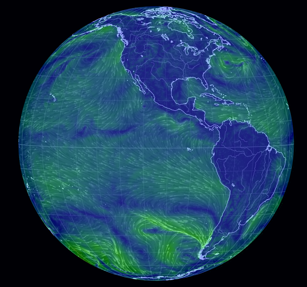
Have you checked out earth, a useful and beautiful pictorial tool for seeing wind and ocean currents, worldwide? http://earth.nullschool.net/
We are charting a course to sail from Florida up the eastern seaboard of the USA. Carmen Beccario‘s Earth is an excellent tool for assessing weather, wherever in the world you are sailing. It is a visualization of global weather conditions forecast by supercomputers, and it’s updated every three hours. The ocean currents are updated every five days, so for sailing, know that the data on currents lag behind the winds (for us, with the gulf stream, we may want to get more current data on currents).
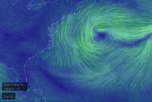
Drag your cursor to chance the angle or zoom in, as I did to see the area we will be navigating.

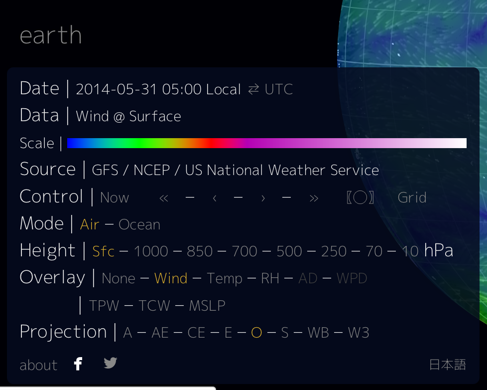
Be sure to click on the “earth” button in the bottom left to get this panel of controls, and play with them.
Using data from a multitude of sources, the globe updates every three hours, showing near-current weather patterns worldwide. The map spins, just as if you were twirling a globe, and you can zoom in on a particular region.


Leave a comment